Our region is recovering from Helene. Please check with individual businesses before booking travel.
Small Towns and Attractions That Are Open Now
Asheville & Western NC Recovery Info and Resources

Due to COVID-19 concerns many facilities, trails, campgrounds, restrooms, and more may be closed. Please see all updates for Pisgah National Forest here.
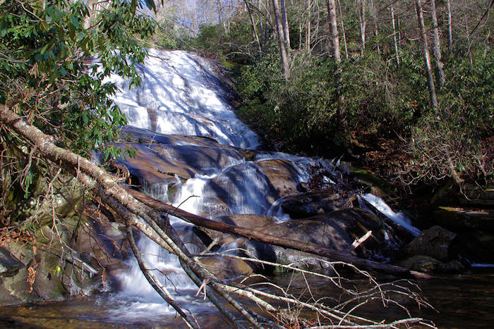
Cove Creek is a beautiful stream with several nice cascades. See a sliding rock, rushing waters and the 50-ft. Cove Creek Falls on a two-mile loop hike. Or, extend your hike to a 4.2-mile loop. It's near Pisgah Center for Wildlife Education in Pisgah National Forest - an easy drive from Asheville. See driving directions below.
The Hike
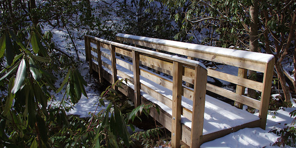
Find a small parking area on the left, 3 miles from US 276. Watch for the "Cove Creek Campround" sign. Cross the road and walk up Forest Road 809 toward the group campsites. While the road does not have bridges at two creek crossings, there are nice footbridges nearby! At the first creek crossing, turn right onto a side trail to reach the bridge.

About 2/10-mile from the parking area, you can take a short spur trail to the right to see a nice cascade (photo). About 1/10-mile past this cascade on 809, turn left on the blue-blazed Caney Bottom Trail. Go a short distance and turn right to cross a small creek. In about 1/4-mile, arrive at the intersection of Cove Creek Trail. Continue STRAIGHT on Cove Creek Trail (yellow blazed) for 1/3-mile to the “Cove Creek Falls” sign for the spur trail to the right. Hike down to the base via another spur trail (obvious trail on left).
After enjoying the falls, return to the spur trail and turn LEFT to continue following the stream downstream. The stream will lead you to a group hiking area when you can pick up the blue-blazed Caney Bottom Trail again. Follow it back to the main group camp area, then return to your car on Forest Road 809.

Nearby
The trail to Daniel Ridge Falls is less than a mile away, so it's easy to see both. A short walk from the parking area is Whaleback Swimming Hole. About 2.5 miles away is roadside Slick Rock Falls. Also nearby are hikes to Log Hollow Falls, Twin Falls, Looking Glass Rock and John Rock. A few miles away (on US 276) are Looking Glass Falls and Sliding Rock.
It's about 14 miles from the Blue Ridge Parkway, accessed from the beautiful Forest Heritage Scenic Byway US 276 (see directions below), near Pisgah Center for Wildlife Education.
Also, see our Pisgah Forest Waterfall & Hiking Map.
Directions from Downtown Asheville
(About 40 miles) Take I-240 West / I-26 East. Continue on I-26 East to Exit 40 for Highway 280 (and the Asheville Airport). Take a right onto Highway 280 West and go 16 miles toward Brevard. As you enter the Brevard area, you will see a big shopping center on the right (with Wal-Mart). Just past the center, turn right onto US Highway 276 North (Forest Heritage Scenic Byway) to enter the Pisgah National Forest. Go 5.3 miles and turn left at the sign for Pisgah Center for Wildlife Education and the State Fish Hatchery. Go 3 miles to the end of the paved road 475 (Cove Creek Group Camp).
The address for the Pisgah Center for Wildlife Education is 1401 Fish Hatchery Rd, Pisgah Forest, NC 28768.

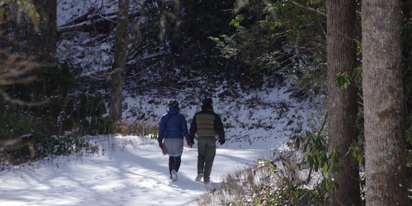
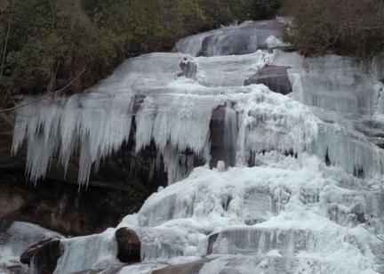
This is one of our top winter hikes!
Watch our Video of Cove Creek Falls


