Limited-Time Offer: Save $50 on a Biltmore® Annual Pass
Buy Your Pass

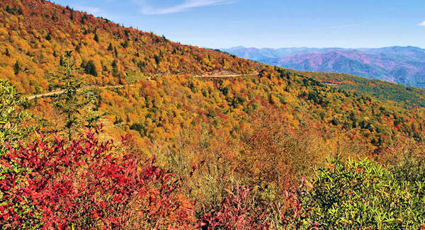
Waterrock Knob is a must-stop along the Blue Ridge Parkway. Located at Milepost 451.2 (just 18 miles from the end of the Parkway), it features the last hiking trail along the Parkway as you travel toward the Great Smoky Mountains National Park. This peak (6,292 ft.) is the 16th highest mountain in the Eastern United States - and the 15th highest of the 40 mountains in North Carolina over 6,000 feet.
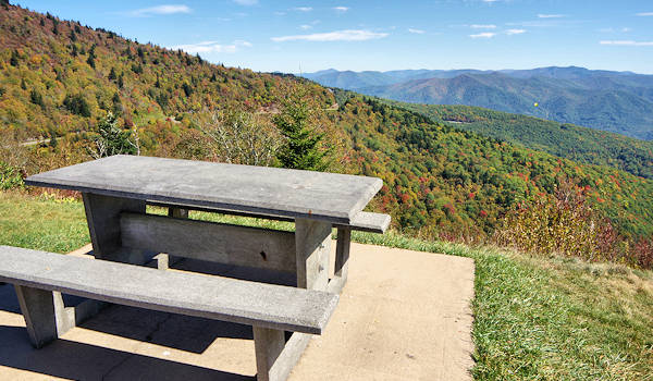
From the large parking area at 5,719 feet elevation, find prime picnic spots with panoramic views and restrooms. The Visitor Center there is open 10 AM-5 PM mid-April through October.
With views to the east and west from the parking area, it's one of the best places in the North Carolina mountains to watch a sunrise or sunset. Due to almost no light pollution, Waterrock Knob is also a great place to stargaze on a clear night for a glimpse of the Milky Way Galaxy.
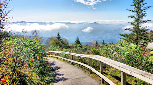
Summit Hike
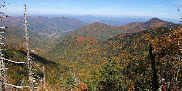
A 1.2-mile round-trip hike will take you to the top of the summit. The steep climb gains 412 ft. in elevation. There are more great views along the way. The first 1/4-mile of the trail is paved, ending at a nice overlook with a small rock wall that you can sit on to catch your breath. At the top, there are several vantage points for distant views (although it's not a 360-degree panoramic view). On a clear day, you have 50-mile views, including the highest peaks in the Smokies. Below is Maggie Valley.
Waterrock Knob is located in the Plott Balsams mountain chain between the Great Smoky Mountains and the Great Balsam Mountains. There is a spring that flows over the Waterrock where hunters and farmers in the area came to rest and get a cool drink of water.
Directions: Located at Milepost 451.2 on the Blue Ridge Parkway, Waterrock Knob is about 56 miles from Asheville’s exit on the Parkway at NC Highway 191. While the drive on the Parkway is one of the most scenic in the country, expect slower traffic and plenty of curves. Allow 2 hours to drive. For a faster trip from Asheville, take I-40 West to Exit 27. Then follow US 74/23 expressway to the Parkway – entering the Parkway at Milepost 443.1. Go south on the Parkway for about 8 miles. This section of the Parkway closes frequently during the winter for snow and ice. Read more about current Parkway closures. There is no street address for GPS.
Nearby: Devil's Courthouse | Graveyard Fields | Black Balsam Knob | Jackson County Things to Do
Check out this 360 video of Waterrock Knob by our friends at Hike NC With Me


