Win a Winter Lights Package!
Enter to win a free pass to the spectacular outdoor light show at The North Carolina Arboretum in Asheville and more.

The Appalachian Medley Scenic Byway is an official NC drive that follows NC Highway 209 from Lake Junaluska to Hot Springs, with much to see in between in the Blue Ridge Mountains. Twist and turn through the Pisgah National Forest and rural countryside speckled with historic barns and communities. Drive alongside part of the Appalachian Trail. With places along the way like Trust and Luck, how could you go wrong?
Here's our mile-by-mile guide, starting on the southern end of the drive at gorgeous Lake Junaluska (about 27 miles west of Asheville).
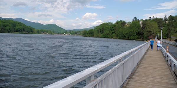
Mile 0: Lake Junaluska is a Methodist Church retreat center that is open for all to enjoy - including a fantastic paved trail around the lake. Add a few miles before you begin your drive by taking their road around the lake. See our Lake Junaluska Guide for more. GPS address to start this Scenic Byway trip is 289 Crabtree Road, Waynesville (corner of NC 209 and Access Road to the lake).
Mile 3.2: I-40 crosses (just FYI)
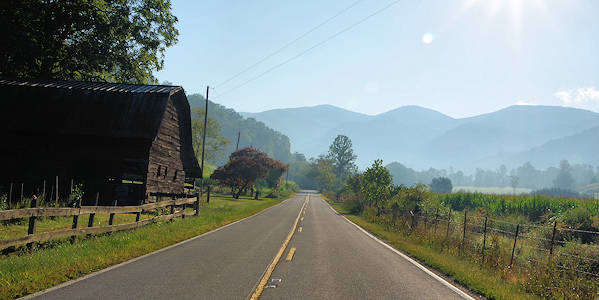
Mile 11.4: Ferguson Supply general store and cafe in the Fine's Creek Community (since 1919) is famous for their ham biscuits and bluegrass concerts. Sit and talk with locals on the liar's bench in front. "The Rattler" begins here with 290 curves in 24 miles - a favorite section of road for motorcycle and sports car drivers.
Mile 15.3: Reach the highest point on the drive at Betsy's Gap (elevation 3,985 feet). Welcome to Madison County.
Mile 19.4: Luck Chapel, historic church established 1889.
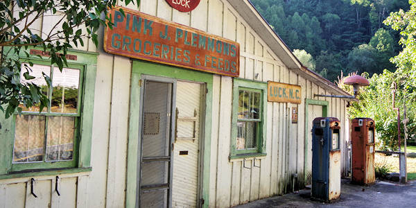
Mile 20: Welcome to Luck with the old Pink J. Plemmons Store from the early 1900s - great photo spot!
Mile 21.5: Welcome to Trust! The Trust General Store and café is a community gathering spot.
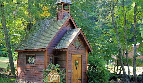
DETOUR: At Trust, turn right onto NC Highway 63 and drive about 2/10 of a mile to St. Jude's Chapel of Hope. Read more!
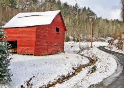
Mile 22.3: Historic barns on left and right (part of the Appalachian Barn Alliance driving tours).
Mile 23.1: Caldwell Mountain Road. Turn left here for an amazing hike atop Max Patch. It's about 10 miles with some unpaved sections. See our Max Patch Hiking Guide.
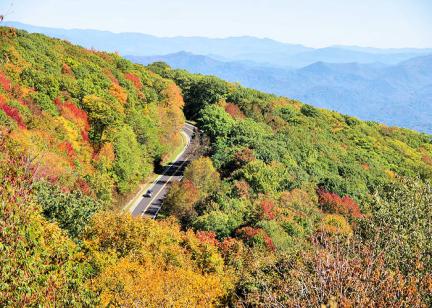
Mile 30.9: Welcome to Pisgah National Forest with a twisting, woodland drive.
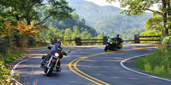
Mile 32: Overlooks on right with mountain views
Mile 32.9: Rocky Bluff Recreation Area Campground, open Memorial Day through Labor Day
Mile 33.5: Overlook on right
Mile 35.8: The Appalachian Trail joins the road and follows Main Street through Hot Springs.
Mile 36.2: Downtown Hot Springs. Top stop for outdoor lovers is Bluff Mountain Outfitters. Grab lunch and check out the shops. Soak in the natural hot springs. See our Hot Springs Guide.
Mile 36.4: Cross the French Broad River. The Appalachian Trail departs on the other side. For a great hike, park downtown and walk across the bridge to follow the AT to Lover's Leap for a view of the river and Hot Springs. See our Lover's Leap Hike Guide.
Continue south on US 25 to Ashevile (36 miles). The official end of the Byway is in the community of Walnut, a mecca for whitewater rafting. Take a slight detour to see downtown Marshall. You can return to Asheville via another State Scenic Byway, the French Broad Overview, that follows NC Highway 251.
