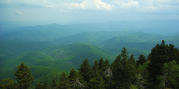
Atop Mt. Sterling (5,842 ft elevation) in the Great Smoky Mountains National Park is the historic, 60 ft. steel fire lookout tower built in 1935 by the Civilian Conservation Corps. This is the highest elevation of any fire tower remaining in the eastern USA. From the top of the Mt. Sterling Tower, you overlook Cataloochee Valley, the Pigeon River Gorge, the Unaka Mountains, the main ridge of the Smokies, the Black Mountains (east), and the end of the Southern Appalachians.
The 2.7-mile hike from Sterling Gap is strenuous since you climb 2,000 feet in elevation. It's a steady climb since the trail is a former jeep access road. At 1/2 mile up the trail, the Long Bunk Trail intersects. Continue climbing for two miles until you reach the ridgeline. Turn right on the Mount Sterling Ridge Trail and the Tower will be about 4/10 mile on the right. There are no views from the base of the tower. You will need to climb to enjoy the panoramic views of the Great Smoky Mountains National Park.

Back Country Campsite #38 is at the base of the tower. Water is 1/4 mile down the Baxter Creek Trail on the left. You could even spend the night in the small cab atop the tower. Mt. Sterling was known as the Devil's Bedchamber to early Cherokee hunters.
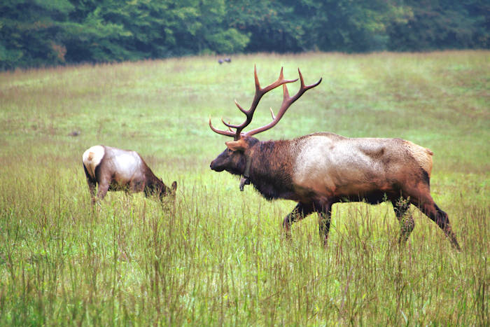
Since the beautiful Cataloochee Valley is nearby, you should definitely see the elk, the historic structures and more hiking trails there. Another tower is located on neighboring Mt. Cammerer.
Find more historic fire lookout towers to climb in the NC mountains.
Directions: Take exit 20 from I-40 and go west on U.S. Highway 276. Take the first right on Cove Creek Road and drive 15.7 miles. All but a few miles of this road is unpaved, curvy and bumpy. So allow plenty of driving time. At about 7.5 miles, you will see the turn-off to Cataloochee Valley. Continue straight to Mt. Sterling, following signs for Crosby.