At 6,643 feet, Clingmans Dome is the highest point in the Great Smoky Mountains National Park. See the best views in the Smokies at the highest point in Tennessee, and the third highest mountain east of the Mississippi. Only Mt. Mitchell (6,684 feet) and adjacent Mt. Craig (6,647) are taller. It's about 25 miles from Cherokee, North Carolina, and 75 miles from Asheville. The scenic drive to the top is open April-November each year. There is no admission charge.
July 2022 Update: The Eastern Band of Cherokee Indians Tribal Council passed the resolution to restore Clingmans Dome to its original name of "Kuwahi." The area served as a sacred place for the Cherokee medicine people who prayed for guidance there on behalf of their community. The unanimous vote will allow the tribe to begin an official petition to the federal government to change the name.
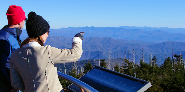
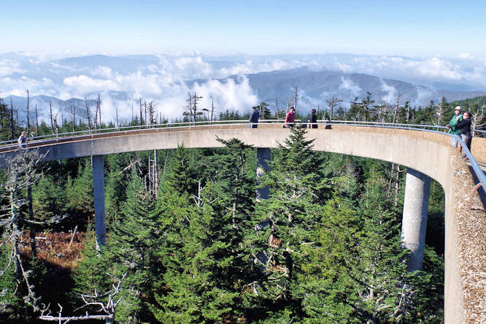
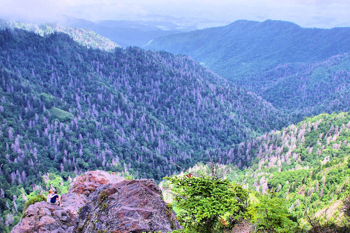
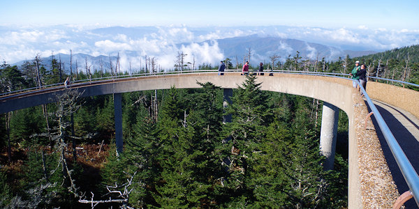
A seven-mile approach road from Newfound Gap on U.S. 441 leads to a large parking area with very nice views, along with restrooms and a souvenir shop. For spectacular 360° views of the Smokies and beyond, hike the steep half-mile paved walkway up to the "flying saucer" tower at the top. On clear days, see more than 100 miles. No pets or bikes allowed on the trail to the tower, and it's too steep for wheelchairs.
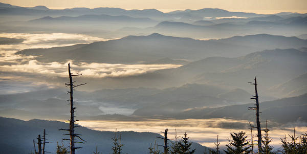
Unfortunately, clouds and precipitation are common at Clingmans Dome, so you are often in the clouds. In fact, the cool, wet conditions create a coniferous rainforest. During the summer, the early mornings are often the clearest.
Temperatures at the summit are usually 10-25 degrees cooler than where you start your drive in Cherokee. Dress in layers and be sure to bring a jacket, even in summer. The road to the summit is closed December-March due to harsh winter weather and 80 inches of average snowfall, as well as other times for bad weather.
Besides the trail to the summit, there are several trails that start on Clingmans Dome Road and parking area. The Appalachian Trail (AT) crosses Clingmans Dome, marking the highest point along its journey from Georgia to Maine. The Forney Ridge Trail leads to Andrews Bald, a high-elevation grassy bald (read more about this hike).
Directions: From Cherokee, travel US 441 North (Newfound Gap Road) through the heart of the Great Smoky Mountains National Park. Just before Newfound Gap, turn left on the 7-mile Clingmans Dome Road to the large parking area at the end.
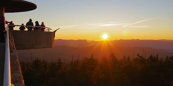
Bucket list item! Arise early and drive up to the top of Clingmans Dome to watch the sunrise. Arrive 30 minutes before sunrise for the best colors. You can watch from the parking area or hike to the top to watch. If you hike up, bring a flashlight and a jacket any time of year.
Nearby
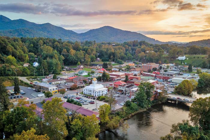
See more things to do in the Great Smoky Mountains including other scenic drives and attractions. Also, read about the neighboring Bryson City area with a variety of lodging and restaurant options.
Watch Video: Sunrise Views from Clingmans Dome