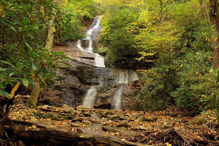
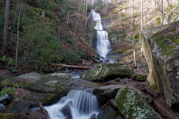
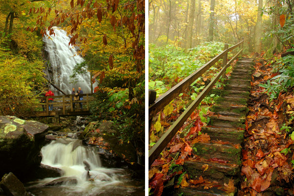
Crabtree Falls is located at Milepost 339.5 on the Blue Ridge Parkway (about 45 miles north of Asheville) and is accessed by a woodland hiking trail with two options: an easier 3-mile hike to and from on the same trail, with a steady descent and return climb; or a more strenuous 3.5-mile loop trail that climbs a ridge above the falls. It's a beautiful hike, complete with plenty of wildflowers in the early summer. The 70-ft. waterfall is definitely worth the trek!
Park at the store (closed) and look for the "Falls" hiking trail sign. Walk down the mostly level trail, past the amphitheatre and into the campground in about 1/3 mile. Just past a small info booth, you will see a small parking area on the right with a sign for the Crabtree Falls Trailhead.
Take the trail from the parking area down to a 'T' intersection. The trail to the right is shorter and somewhat easier. It's mostly downhill to the waterfall (just under a mile), so it's uphill on the return! Sometimes the trail will have wet and muddy sections.
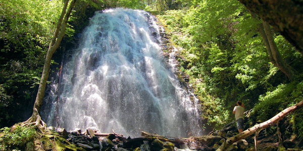
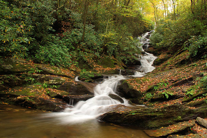
A bridge over the creek in front of the falls offers great views. There are even better views on the other side of the creek, and you can walk up to the base of the falls. The photos on this page were taken after a good bit of rain. The water flow is less during drier times of the year.
You can either return from the waterfall via the same trail or complete the loop (adds an extra 1/2 mile) by climbing the stairs across Big Crabtree Creek and continuing up and along the creek for the 1.7-mile hike back to the parking area. The first part just after the waterfall is the steepest. When you get closer to the campground, spur trails will head off to the right into the campground - follow signs for Loop B and the amphitheatre to get you back to your car.
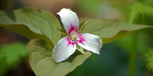
Crabtree Falls marks the last stretch of the Parkway through the Blue Ridge Mountains before it turns westward into the Blacks, Craggies, Pisgahs and Balsams. In the early summer, the Meadows is a showplace of wildflowers, including the hawthorne, beard tongue, mountain laurel and gentian.
Picnic Area
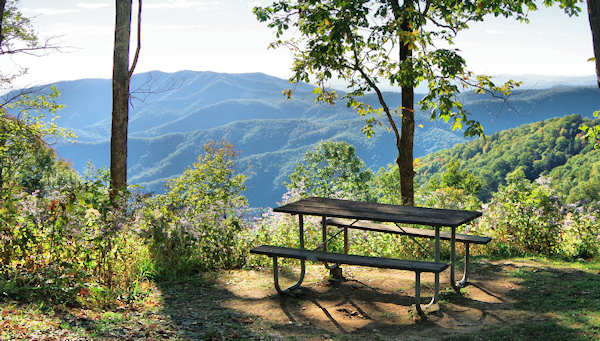
About 3/4 of a mile south of the waterfall parking area is the Crabtree Falls picnic area with many tables and grills, along with nice mountain views. From the campground / waterfall parking area, turn right / south on the Parkway to reach a separate parking area.
Campground
The campground has potable water, comfort stations with flush toilets and sinks, and a dump station for recreational vehicles. Make reservations for all Parkway campgrounds at www.recreation.gov or call 1-877-444-6777.
Directions
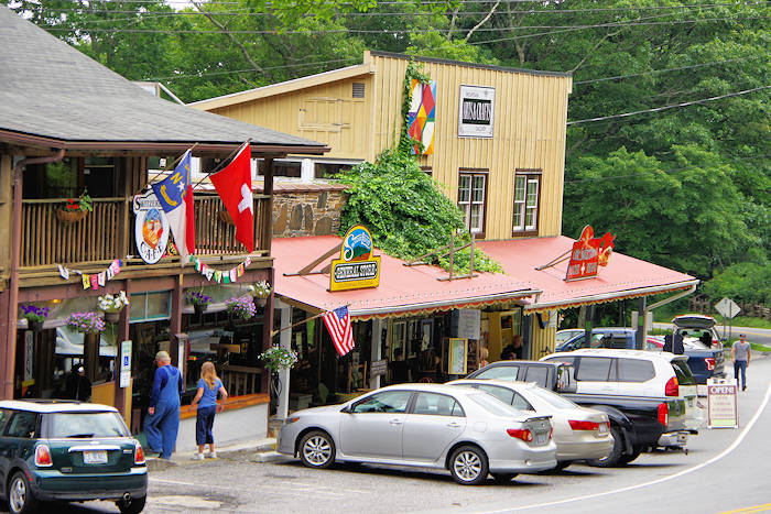
Crabtree Falls parking is located on the Blue Ridge Parkway at milemarker 339.5, near Little Switzerland and about 16 miles north of Mt. Mitchell. From Asheville, drive the Parkway 42 miles north. The picnic area is 339.7.
Find More: See our Top 12 Parkway Waterfalls.
This video was filmed by our friends at Namaste In Nature using 360º 5.6K resolution so you may need to adjust your youtube streaming quality to a higher setting for the best experience. These videos work on a desktop but seem to stream better on a mobile device.
More Waterfalls
Other waterfalls nearby are Linville Falls, Roaring Fork Falls, Setrock Creek Falls and Grassy Creek Falls.