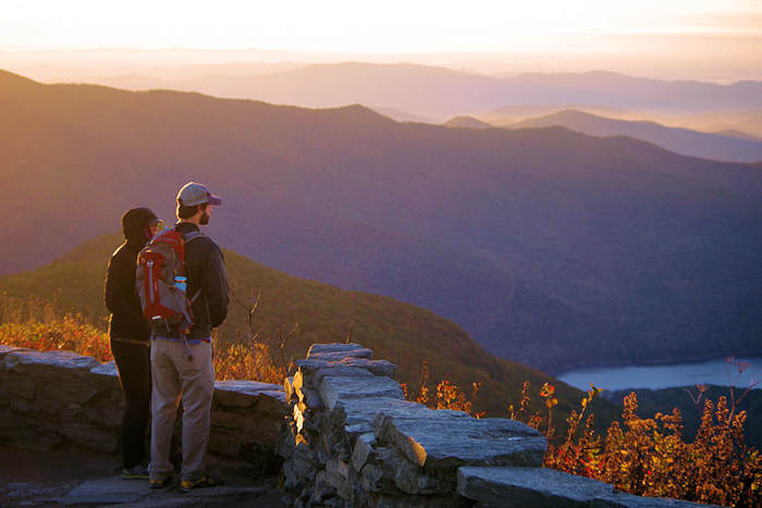
Take a short hike from the Blue Ridge Parkway to enjoy panoramic views from Fryingpan Mountain Lookout Tower, located near Mt. Pisgah in Pisgah National Forest. The views are better than from atop Mt. Pisgah, with half the hike (only 1.5 miles round-trip)! Although the very top of the tower is locked, you can climb five flights of stairs to just underneath the top platform. It can be a challenge for those timid of heights.

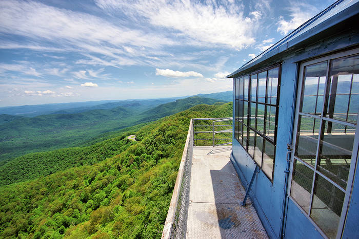
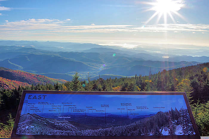
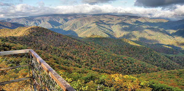
Looking south is Looking Glass Rock. The United States Forest Service built the 70-ft. tall tower in 1941. It is the tallest USFS lookout tower in Western North Carolina, and it is now on the National Register of Historic Places. A few tall communication towers share the summit, but they only interfere slightly with the panoramic views.
The Blue Ridge Mountain views include a close-up view of famous Cold Mountain (peak is just five miles away). Mt. Pisgah is just 2.5 miles north. Dogs on a leash are allowed. However, many are afraid of climbing the tower. We have seen several owners carrying big frightened dogs down the steps.
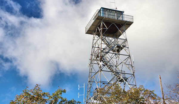
The steel tower atop the 5,340-ft. Fryingpan Mountain was built for extensive views to watch for fires until the early 1990s. Today, only hikers enjoy the views from the tower.
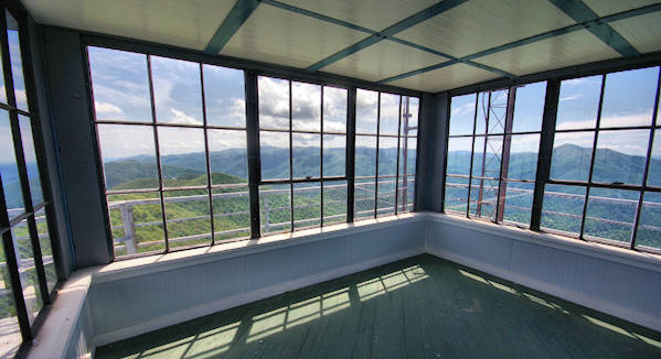
Here's a peek inside the cab. The top deck and cab are locked to prevent vandalism and overnight stays. The mountain received its name from neighboring Fryingpan Gap. Pioneers named the gap, but no one is sure why. One story centers on the odd shape of a spring in the gap. Another story tells of a frying pan that was always hanging in a tree in the camp.
Find more historic fire lookout towers to climb in the NC mountains.
Nearby: See more Quick Hikes on the Blue Ridge Parkway near Asheville and our mile-by-mile Parkway Guide.
Directions: Fryingpan Tower is about 22 miles from Asheville (allow 45 minutes to drive). From Asheville, head south on the Blue Ridge Parkway to Milepost 409.6 and park at the entrance to the Forest Service Road 450. The road gate is always closed (do not block it). Walk around the gate and walk up the gravel road to the summit. This section of the Parkway is closed much of the winter due to snow and ice. Best time to visit is April through October. It's often cooler and windier at the top, so be prepared!
Check out this 360 video of Frying Pan Tower Hike by our friends at Hike NC With Me